
Rohtas Fort – All You Need to Know BEFORE You Go (2024)
Rohtas Fort is the most powerful fort in the subcontinent from the 16th century. This popular tourist destination is located 16 kilometres from Jhelum, near Dina. UNESCO designated Rohtas Fort as a World Heritage Site in 1997 for its exceptional architectural significance.
The Rohtas Fort was built on a hill overlooking the Tilla Jogian in the Potohar plateau. The surrounding towers are about 300 feet (91 metres) high. Rohtas Fort is at an elevation of 2,660 feet (810 metres) above sea level. GT road is alongside the northern wall of the fort. The history of the fort is dated back to the Sur dynasty. Sher Shah Suri construction it in 1541.
The fort was on a strategic location between the mountains of Afghanistan and the plains of Punjab to prevent the Mughal emperor from invading India and intended to suppress the Gakhar tribes Potohar region. Mughal emperor Humayun ceded the fort in 1555.
Top ways to experience Rohtas Fort and nearby attractions
The fort remained in use until 1707. Afghan chieftain Ahmed Shah Abdali used the fort in his expeditions in Punjab. The forces of Gurmukh Singh Lamba snatched the fort from Gakhar chieftain Nur Khan in 1825. The Sikh dynasty used Rohtas Fort for administrative purposes until it was destroyed by the British in 1849.
When Mahabat Khan invited Jehangir to invade Kabul, he stayed there. His wife Nur Jehan gathered troops from Lahore to compel Mahabat Khan to release her husband. Then Jehangir went to Rohtas and held his court there. Durrani ruler Ahmad Shah Durrani stayed there during his invasions on Punjab against the Sikhs dynasty. Timur Shah Durrani retook Multan from Sikhs after defeated them in 1780. He had made an unsuccessful attempt to cross the plains of Punjab to save his brother-in-law, the frail Mughal Emperor Shah Alam II. Gurmukh Singh Lamba captured the Rohtas Fort from Ghakhar chief Nur Khan. Ranjit Singh handed over the fort to Mohar Singh. It was later leased to various persons, the last of whom was Raja Fazal Din Khan.
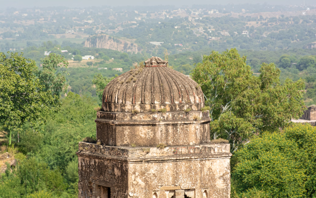
Rohtas Fort lies on 70 hectares. It is surrounded by 4 kilometres of walls reinforced by 68 towers and 12 gates. The shape of the fort is like an irregular triangle and follows the contours of the hill. A 533 metre (1,749 feet) wall separates the northwest corner of the fort from the rest of the area. The enclosed section was more heavily guarded and served as a citadel for elites.
The Rohtas Fort has 12 gates.
- Sohail Gate
- Shah Chandwali Gate
- Kabuli Gate
- Shishi Gate
- Langar Khani Gate
- Talaqi Gate
- Mori or Kashmiri Gate
- Khwas Khani Gate
- Gatali Gate
- Tulla Mori Gate
- Pipli Gate
- Sar Gate
Stepwells (Bawalis)
The fort has three Bawalis (Wells) with 135 steps in total. These were created by drilling deeply into the lime rock and used for the horses to drink water.
Central Bawali
Royal Bawali
Sar Gate Bawali
The Grand Trunk Road connects Islamabad with Gujar Khan, Sohawa and Dina, 110 kilometres away. After about 100 metres, there is a signboard directing to the road leading to Rohtas Fort, which is located 8 kilometres from the sacred village of Muftian. The GT road from Lahore leads to Gujranwala, Wazirabad and Jhelum. A 10 minute drive beyond the Jhelum bridge, there is the city of Dina. Tourists will see a signboard directing them to Rohtas Fort.